All City Maps
Lake Worth Beach’s GIS Team works with all branches of the City, and is responsible for creating, maintaining, and coordinating all GIS efforts for the City’s Departments. Below are Interactive Web Mapping Applications and Static Maps which are used by City Employees as well as being available to the public.
Popular Resources
Development Projects
View information on current development projects and completed projects that were submitted since 2017 within the City of Lake Worth Beach!
Commission District Map
Use this map to find your district and Commissioner. You can also access their contact information and more.
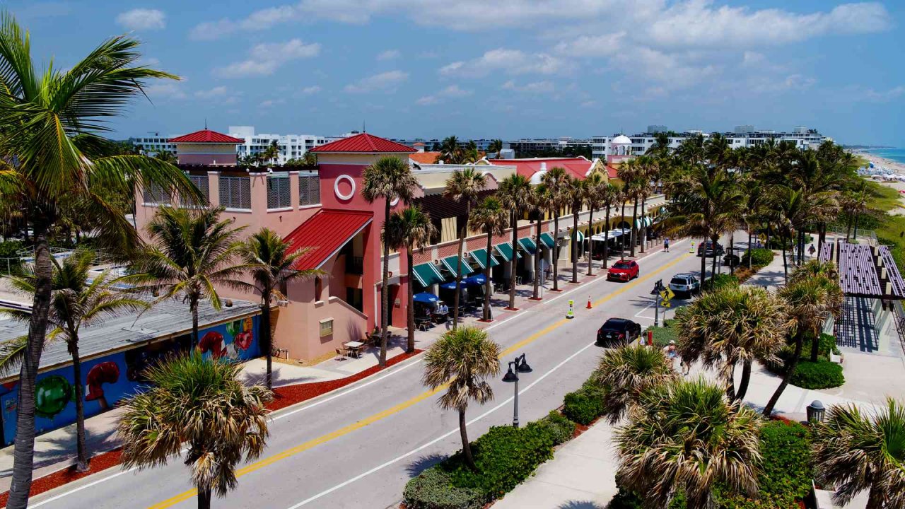
Public Parking Map
Locate public parking (free & metered), and get additional information about parking locations in the City of Lake Worth Beach.
Zip Codes Map
Explore Lake Worth Beach's neighborhoods with our zip codes map, highlighting Zip Codes in and around the City.
View Zip Codes MapHistoric Districts Map
The City of Lake Worth Beach Historic Districts Map is a visual depiction that highlights and demarcates the historically significant areas within the city.
View Historic Districts MapOfficial Zoning Map
The City of Lake Worth Beach Zoning Map is a graphical representation that organizes Lake Worth Beach's urban landscape into distinct zones, each designated for specific land use purposes and regulations.
View Official Zoning MapFuture Land Use Map
The Future Land Use Map (FLUM) for the City of Lake Worth Beach envisions a dynamic and sustainable urban landscape that enhances the city's unique coastal charm, fosters community well-being, and supports responsible growth.
View Future Land Use MapDevelopment Projects Map
This map provides information about Development Projects in Lake Worth Beach. The above image is just a representation, Please Click the map link below to see the full map.
View Development Projects MapPublic Parking Map
Effortlessly find convenient parking spaces throughout the city of Lake Worth Beach with the help of this user-friendly map.
View Public Parking MapCemetery Web Locator - Under maintenance Map
City Owned Properties Map
Code Districts Map
Commission District Map
Find my Zone Garbage and Recycling Zone Map
Flood Zones Map
Lake Worth Beach Community Redevelopment Area Map
Neighborhood Associations Map
Utilities Service Areas Map
Cemetery Web Locator
Find lot information on both Lake Worth Beach Cemeteries. Pine Crest and IA Banks. You can view the history, details, resting information, and vacant plots.
View Locator and Tour
The GIS Team at Lake Worth Beach collaborates with every City department, taking charge of the creation, upkeep, and coordination of all GIS initiatives across various City Departments. Our Interactive Web Mapping Applications and Static Maps, utilized by City Employees, are also accessible to the public under the "Important Links" tab.